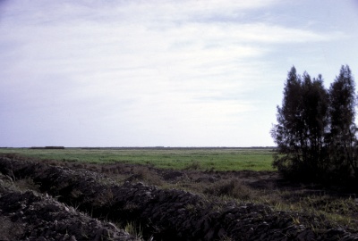
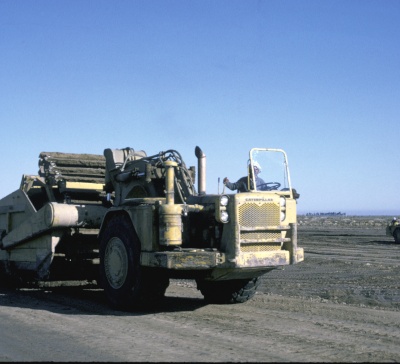
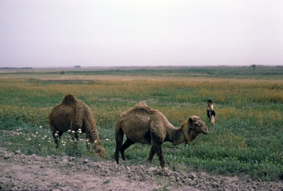
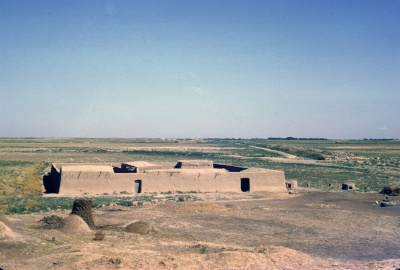
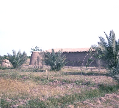
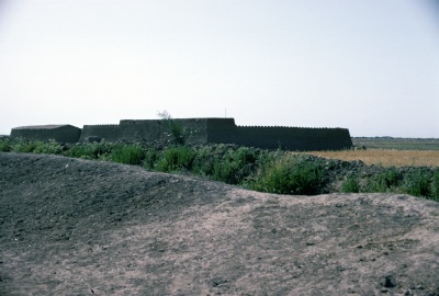
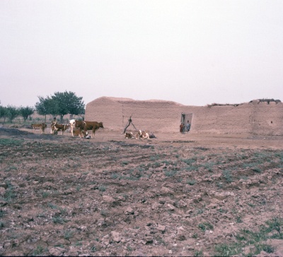
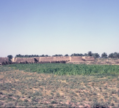
The Greater Mussayib Project, Hilla Province, is located 90 km south of Baghdad.
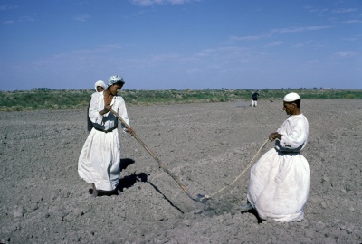
The project area measures 80 000 ha of which 60% is assigned for small holder farming in plots of 16.6 ha and distributed to 3050 farm family settlers. The project is an irrigation scheme. The water intake of GMP is from the Euphrates, 10 km upstream of the Hindiya Barrage. The water flows via a main irrigation canal of 50 km and is distributed to the plots of the settlers with a branch system consisting of 15 main branch canals.
The project was established in 1955 and the first farm family settlers received their plot of land during 1957/1958. During the initial years support to settlers was limited and the progress of development of the project remained under the target planned.
Government therefore decided in 1964 to renovate the project. The renovation was supported by United Nations Development Programme with funds and staff.
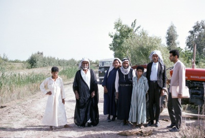
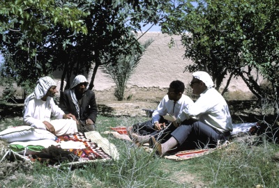
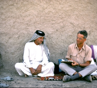
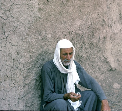
The present report on a Socio-Economic Survey was conducted during May- June 1969 to study the socio economic situation of the settler families and to offer guidance on farm-, cooperative and marketing development. The survey was conducted by staff of the Baghdad Institute for Cooperation and Agricultural Extension on request of the Greater Mussayib Project.
The mixed farming system on each settler plot of 16.5 ha gross included:
Winter crops : 5.5 ha – wheat, barley, horse beans and alfalfa for fodder
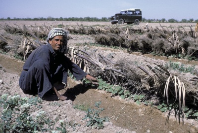
Summer crops: 2 ha – green gram, cotton, onions, cucumber, sesame, tomato & others
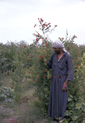
Orchard : 0.75 ha – vines, apples, pomegranates, apricots and dates.
NB. Due to problems in the irrigation system of the project it was till 1969 not possible to irrigate the entire area of 16.6 ha per farm unit. The planned renovation of the Project aimed to redress this situation and provide irrigation water for 100% of the area during the winter crop season
Livestock :
buffalo 4
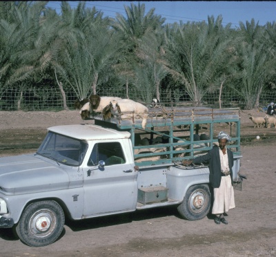
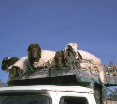
Sheep 22
Goats 6
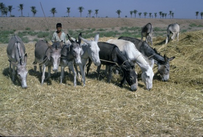
Donkey 1
Poultry 6
Nominally all settlers are member of one of the projects cooperatives. Farmers received tractors services for land preparation seeds and fertilizers, extension services and marketing facilities from the local cooperatives. Membership is obligatory
An interesting feature of the Greater Mussayib project is that it is exactly located on the site of an old irrigation project which was covering physically the same area in the period of approx. 1200- 1000 BC (Before Christ). Based on old cuneiform reports it was established that the modern layout of the irrigation system is exactly the same as the original lay out of 1200 BC. The only modern innovation is the establishment of an additional canal system for deep drainage. This system with canals and underground drainage pipes allows draining the irrigation water at a depth of 3.5 m. This allows during each winter from December– Feb. to flush-out the salt deposit which was built up during the previous summer period when evaporation is very high.
It is anticipated that in this way the project will not easily salt up as in the1200-1000 BC period.
According to the cuneiform reports, crops in the earlier period also included wheat and barley as winter crops with yields per ha of about 25 to 50 percent higher as at present. Summer crops in 1200 and today both included vegetables. Livestock formed in the 1200 –1000 BC period also an integrated part of the farming system.
(Private communication from Dr Dhari Al Hardan Director General GMP.
References:
Co-operatives and Marketing in the Greater Mussayib Project.
E.B. Loveridge, R.A .Russell, C.E. van Santen & Mohammed Talib.
Institute of Co-operation and Agricultural Extension. Baghdad 1969.
